
Genocide .live

Attacks on the town of Duma, Nablus
Duma covers a total area of approximately 18318 dunums, including 376 dunums of built-up area. It is bordered to the east by Fasayil, to the west by Qarvut and Qusra, to the north by Majdal Bni Fadil, and to the south by Al-Mughayyir, The bypass road No. (458) passes through the village land for 3360 meters, confiscating about 336 dunums under its path. The occupation controls about 130 dunums for Israel army camps. The Oslo Agreement classifies 95% of the village’s land as Area C, which is under full isreali control. The area of zones (B) is 919 dumuns, and the area of zone(C) is 17399 dunums.
On 15 July 2024, settlers established a new agricultural outpost on eastern lands of Duma (south of Nablus), reportedly including small structures and plantations. The site is said to have been set up near land associated with Ma’ale Efraim, under military protection.
The outpost is described as part of ongoing settlement expansion aimed at controlling nearby grazing land and restricting Palestinian access, with potential impact on hundreds of dunums of village territory.
Uploads
(3 of 3)
Armed settlers use minors to threaten and harass a human rights activist
9 May, 2026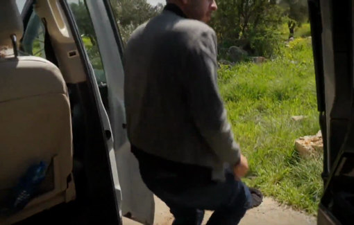
In the village of Duma, one exit / entrance has been closed off by the Israeli army
March, 2026